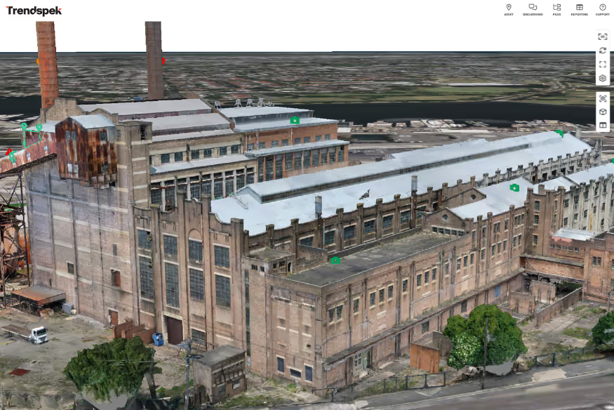
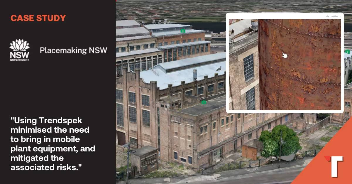
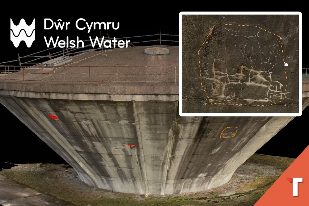
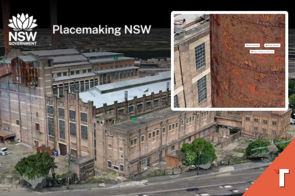
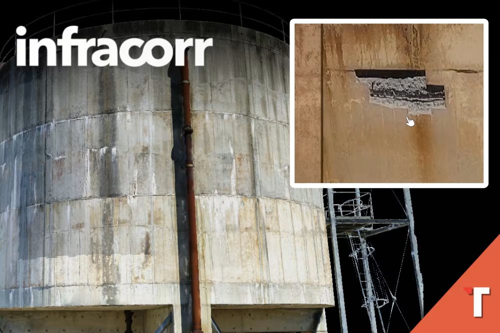
Initially engaged to complete a constructibility report for remedial works, the project team turned to Trendspek’s digital capture to address the challenges of physically inspecting the White Bay Power Station — then, an ageing structure with external areas that were hard-to-reach, or inaccessible due to hazards.
During procurement, they realised the additional bonus that Trendspek could host the photogrammetry data within a 3D model.
Having had previous experience with LiDAR and BIM technologies, the Placemaking NSW team realised the wider benefit that Trendspek could provide the project, including:
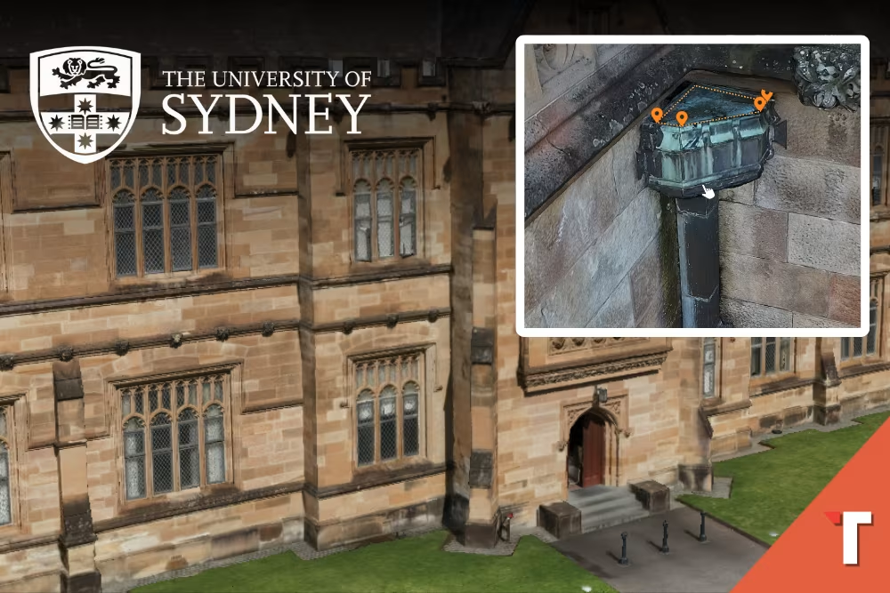
Virtual site visits in 3D of hard-to-reach, or inaccessible areas
Geospatial data within 3D models
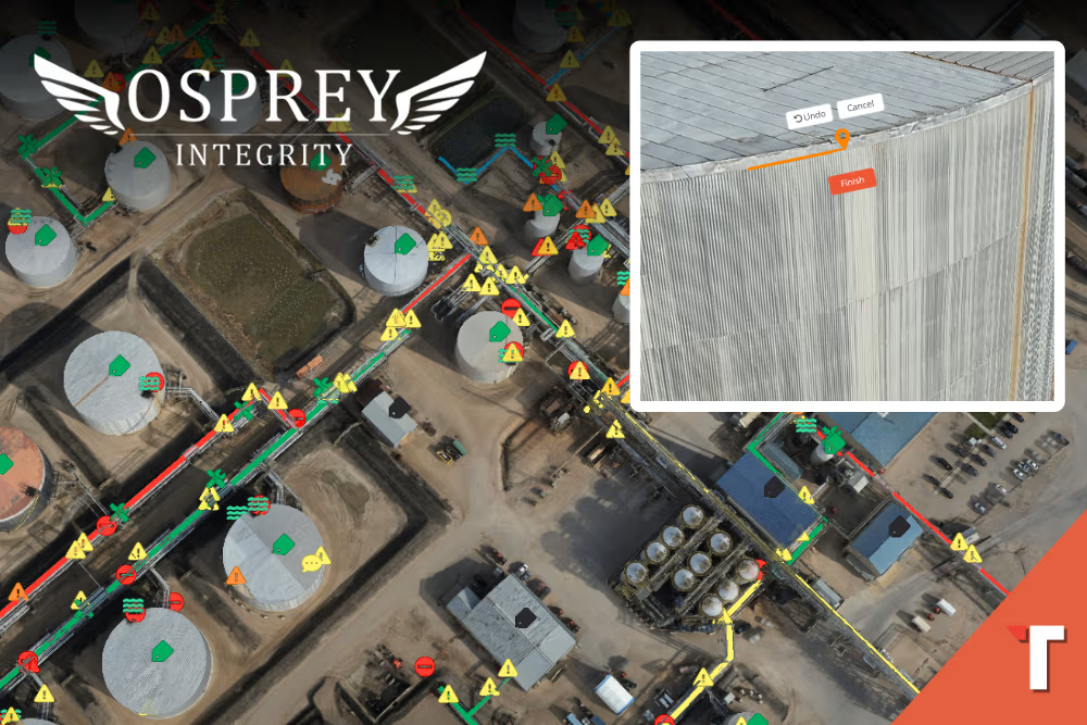
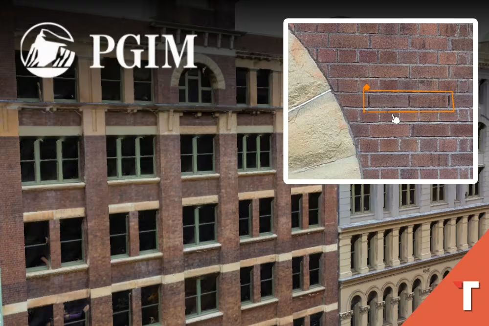
Interactive measurements (length, height, gelocation)
Quantifying take-offs to build project budgets
"What began as a need for a traditional report and photos, led to the ability to virtually fly around to look at different aspects of the asset that we were unable to physically reach and inspect," said a representative from Placemaking NSW.
"On a site that requires such extensive conservation works, having the ability to easily inspect out-of-the-way areas was invaluable."
“Using the geospatial data in the model, the team’s Quantity Surveyor was impressed with the ability to measure to a high degree of accuracy. This allowed them to complete take-offs of the required work to build up a project budget.”
“There were many hard-to-reach areas that required repair and certain locations that were physically inaccessible. Using drones and Trendspek minimised the need to bring in mobile plant equipment and mitigated the associated risks.”

.avif)
.avif)


.svg)