We work with
Capture Providers
Transform photogrammetry data into actionable insights, and deliver new value and trust for your clients.
Join our capture network
How we work together to deliver results
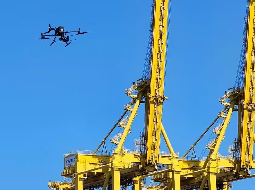
Deliver new levels of drone coverage
Simply upload your data, and we’ll take care of the rest—no editing, processing, or expensive systems required
Offer interactive condition insights to help your clients make more informed decisions.
Expand your service offering and win new clients
Diversify your services with advanced inspection solutions.
Go beyond raw data to include digital inspections, detailed reporting, and insights that set you apart in the market.
Assess your expertise and get you on-site
We review your dataset within Trendspek, ensuring compliance with industry standards and enterprise-level photogrammetry.
Our growing network of industry partners enables us to foster direct relationships between clients and capture service providers globally.
.avif)