Resources and Guides
Access our free library of resources, including playbooks, white papers and interactive tools.
Explore TrendspekWhite Papers
Dive deeper into the world of technology, and its growing applications within infrastructure.

WHITE PAPER
A Guide to
Digital Engineering
Explore the 6 benefits of digital engineering to deliver faster remediation outcomes.
WHITE PAPER
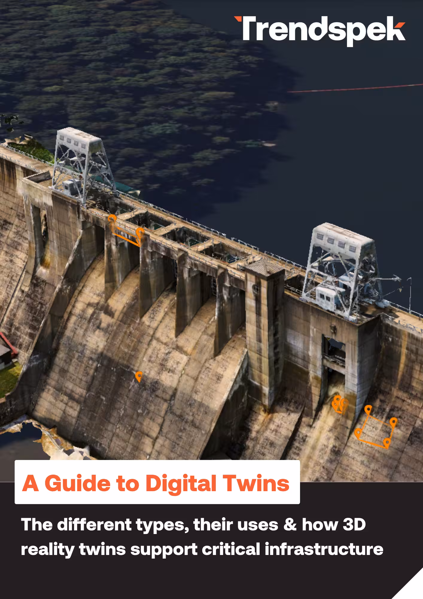
A Guide to
Digital Twins
Discover the different types of digital twins and their growing applications across infrastructure.
Capture Guides
Master your next drone mission with our Capture Guides.
PLAYBOOK
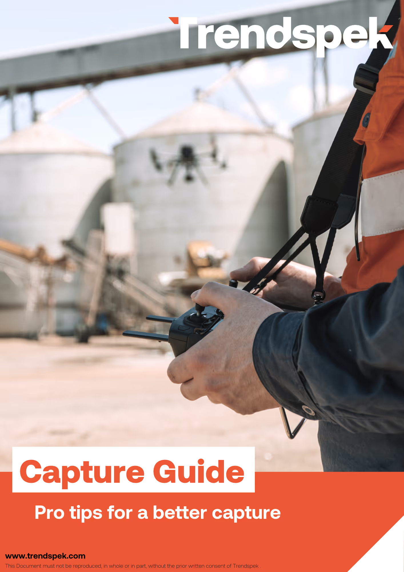
Capture Guide
Our ultimate playbook to determine the best flight path to take for your drone, equipment, and other pro tips.
PLAYBOOK
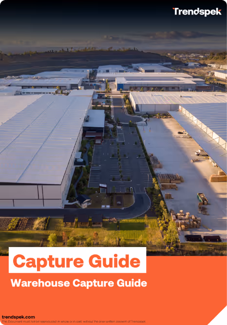
Capture Guide: Warehouses
Our free playbook for drone providers, with expert tips on capturing large logistics and facility centres.
PLAYBOOK
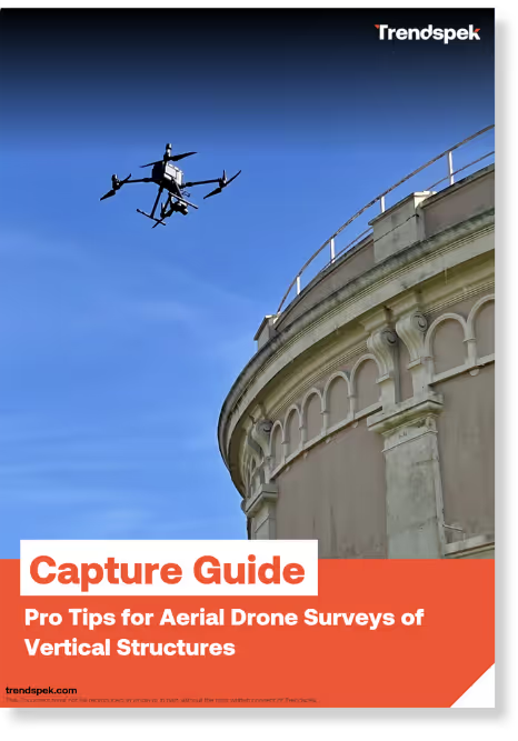
Capture Guide:
Vertical Structures
Our free playbook for drone providers, with step-by-step instructions on capturing complex assets like façades and lattices.
PLAYBOOK
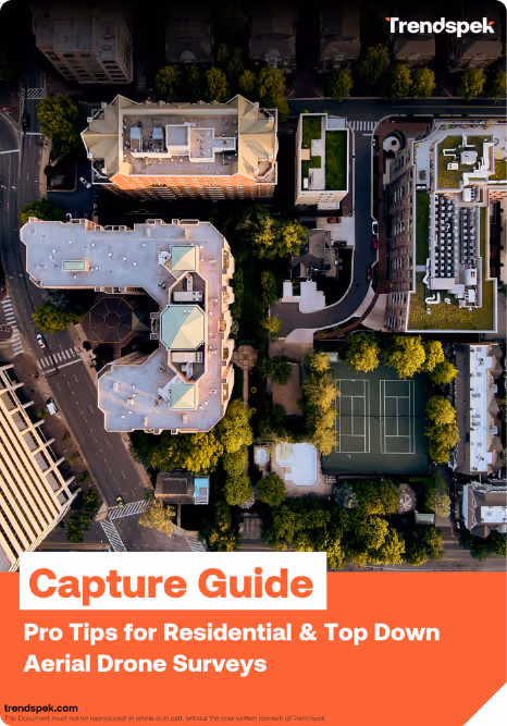
Capture Guide:
Top Down & Residential
Our free playbook for drone providers, with step-by-step instructions on capturing roofing and linear assets.

PLAYBOOK
Capture Guide:
Oil & Gas
Our step-by-step playbook for drone operators capturing complex oil and gas assets
Free Tools
Determine drone flight distance in seconds with our Resolution Calculator tool.
DIGITAL TOOL
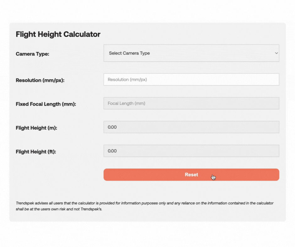
Resolution Calculator
Enter camera type and desired resolution to calculate the distance, height and fixed focal length needed to fly your drone.
FREE DOWNLOAD
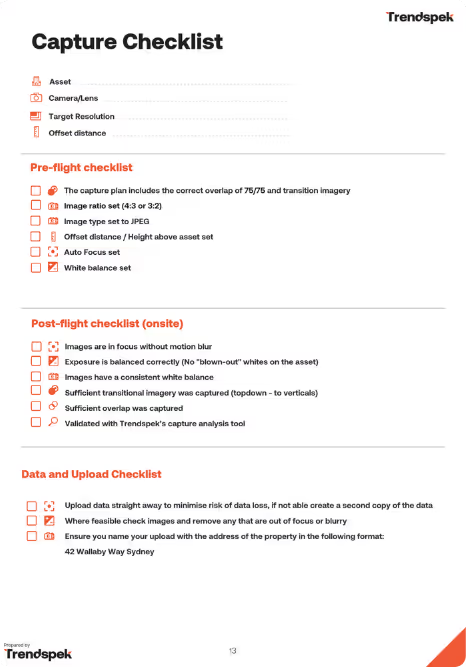
Capture Checklist
Ensure everything is ticked off pre and post-capture with our free one-pager PDF.